Dong Thap Province: Mekong Delta Rice Bowl and Flower Village
Dong Thap is a flat, fertile province in Vietnam's Mekong Delta known for rice paddies, the spectacular Sa Dec flower village, and the waterways that define life here. With 4+ million residents and rich agricultural heritage, it's a working-landscape destination for those curious about how the delta actually functions.

Dong Thap province sits in the heart of Vietnam's Mekong Delta (메콩 델타 / 湄公河三角洲 / メコンデルタ), stretching across 5,939 km² of some of the country's most productive agricultural land. It's formed from two watersheds divided by the Tien River: the northern plain (Dong Thap Muoi) and the southern ribbon between the Tien and Hau rivers. If you're interested in rice, flowers, or the delta's rhythms, this is the place.
How Dong Thap Became Dong Thap
The province is relatively young. Serious Vietnamese settlement didn't arrive until the late 17th century, when migrants from the Red River Delta moved south. By the early 18th century, hamlets were taking root near the Cai Sao Thuong rivulet (now Cao Lanh). Sa Dec, whose name is Khmer for "iron market," grew from a few hamlets into a major trading hub—second only to Cholon (Saigon) by the 19th century. Today Sa Dec is famous for something far more delicate: flowers.
The modern province took its current form in 1976 when two older provinces (Kien Phong and Sa Dec) merged. Sa Dec was the capital until recently; now Cao Lanh serves as the provincial seat.
Geography and Climate
Dong Thap is pancake-flat. It sits between 10°07'N and 10°58'N latitude, bordered by Tay Ninh and Cambodia to the north, Vinh Long to the south, An Giang to the west. The Soai Rap river marks much of the eastern edge toward Ho Chi Minh City (호치민시 / 胡志明市 / ホーチミン市). There are four official border crossings into Cambodia: Thong Binh, Dinh Ba, Thuong Phuoc, and My Can.
Two rivers—the Tien and Hau—are the province's lifelines. They bring fresh, silt-rich water and create a hydrology that shifts dramatically with the monsoon. From May to November, the rainy season dumps 90–95% of the year's 1,682–2,005 mm of rainfall. December to April is drier. The flood season (July–November) pushes water from the upper Mekong through the delta; the dry season (December–June) sees the rivers draw down. Average temperature hovers around 27°C, with highs near 34°C and lows around 22°C.

Photo by Duy's House of Photo on Pexels
Rice and Agriculture
Dong Thap is Vietnam (베트남 / 越南 / ベトナム)'s third-largest rice producer. The province grows rice on 462,042 hectares, turning out over 2.8 million tons of paddy annually. Beyond rice, another 38,000+ hectares grow industrial crops—corn, cassava, sugar cane. The soil is alluvial, deep, and never saline because fresh water from the rivers is constant.
Agricultural zones have been carved up and intensified along both river systems; cooperatives and state enterprises run much of the export supply chain. If you drive through Dong Thap in the dry season, you see neat rectangles of emerald shoots; in the rainy season, flooded paddies reflecting sky.
Sa Dec Flower Village
The real draw for many visitors is the Sa Dec flower village, which sprawls across nearly 300 hectares. This is not a theme park—it's a working production landscape. Nurseries grow over 12 million plants annually: orchids, lilies, roses, ornamentals, tropical exotics. Families live on-site, tending seedlings in shaded beds and selling cuttings to middlemen who supply Ho Chi Minh (호치민 / 胡志明 / ホーチミン) City's markets and export buyers.
Walking through Sa Dec on a quiet morning, you pass low greenhouses, open-air beds, families watering by hand. It's humid, earthy, and very real. The best time to visit is early morning or just after rain, when the air smells like soil and growing things. Many small farms welcome foot traffic; some sell directly to visitors.
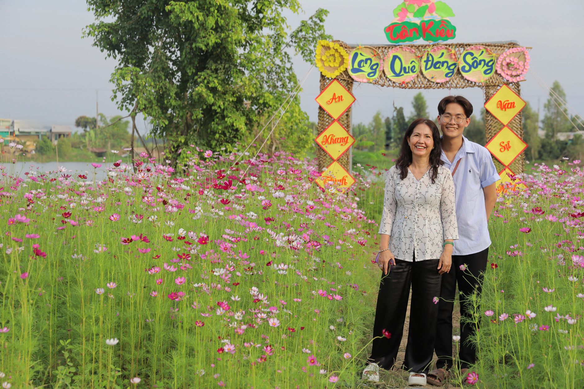
Photo by Phượng Lê on Pexels
Getting Around
Dong Thap is connected by national highways 1, 30, 50, 80, and 54, linking it to Ho Chi Minh City (about 152 km northeast) and other delta provinces. Can Tho International Airport is roughly 80 km south; Tan Son Nhat (HCMC) is about 152 km away. Local transport is mainly motorbike taxis, buses, and rented bicycles—the flat terrain is perfect for cycling.
The province has 102 commune-level administrative units: 20 urban wards and 82 rural communes. Key towns include Cao Lanh, Sa Dec, Hong Ngu, and Cao Lanh (the provincial capital).
Why Go
Dong Thap is not a beach or mountain destination. It's a landscape of productivity—rice, water, flowers, and the people who work them. If you want to understand how the Mekong Delta feeds Vietnam and the world, or if you're a gardener curious about ornamental production at scale, or simply prefer quieter, working countryside to tourist spectacle, Dong Thap rewards slow travel and early mornings. The wet season (May–November) is when the delta is fullest and most dramatic; the dry season (December–April) is cooler and easier for cycling.
Going to Vietnam? Eat and travel smarter.
Monthly: new dishes, off-the-beaten-path destinations, and itineraries — straight to your inbox. No spam. Unsubscribe anytime.
Join 0 expats. (We just launched.)
More from cao-lanh
Other articles covering this city.

Hu Tieu: Vietnam's Soul Noodle Soup
"Hu tieu" is the south's answer to "pho" — a bowlful of chewy noodles, pork bone broth spiked with dried shrimp, and a customizable heap of meat and organ that tastes better than it sounds. Here's what you need to order.
More from Southern Vietnam
Other articles covering the same region.

Landmark 81 Saigon: Observation Deck, Ice Rink, and Getting There from District 1
Landmark 81 is Vietnam's tallest building and Saigon's most visible skyline anchor. Here's what's actually inside and whether it's worth the trip.

Bitexco Financial Tower: Skydeck, Helipad Bar, and Whether the Ticket Is Worth It
Saigon's most recognizable skyscraper charges 250,000 VND to ride up to the 49th floor — here's what you actually see, and whether you should bother.

Notre Dame Cathedral Saigon: French Colonial Centerpiece in the Heart of HCMC
Saigon's Notre Dame Cathedral has been wrapped in scaffolding for years, but the square in front of it remains one of the best starting points for a colonial-era walking tour of District 1.
More in Destinations
More articles from the same category.

Paradise Cave, Quang Binh: The 31km Marble Cave That Beats Phong Nha for Photographers
Paradise Cave runs 31km through Quang Binh's karst and delivers the kind of cathedral-scale formations that Phong Nha's boat tour simply can't match. Here's how to see it properly.

Son Doong Cave: What the $3,000 Oxalis Expedition Actually Includes
Son Doong is the world's largest cave and only one operator is legally allowed to take you inside. Here is what the permit-only expedition covers and whether it is worth it.

Phong Nha Cave: Wet Cave, Dry Cave, and How to Choose
Phong Nha has two main caves worth your time — one you reach by river boat, one on foot. Here's how to pick, what each costs, and when to go.

Hoi An Lantern Festival: Full Moon Nights and How to Plan Around Them
Once a month, Hoi An cuts the electricity and lights the Ancient Town with silk lanterns. Here's what actually happens and how to not spend the evening stuck in a crowd.

Japanese Bridge Hoi An: 400 Years of History, a Restoration Row, and How to See It Right
Hoi An's Japanese Bridge has anchored the Ancient Town for four centuries. Here's what to know about its origins, the restoration that divided locals, and when to visit.

Hoi An Old Town Walking Guide: Yellow Walls, Lantern Alleys, and the Japanese Bridge
A street-level route through Hoi An's UNESCO core — old merchant houses, assembly halls, the famous Japanese Bridge, and when to walk each stretch for the best light.
Comments
Loading…