Vietnam (베트남 / 越南 / ベトナム) rewards photographers who plan around light rather than landmarks. This 10-day route threads four of the country's most photogenic zones — Hanoi, Cao Bang, Ha Giang, and Hoi An — sequenced so that travel time doubles as a rest buffer between dawn shoots.
Day 1 — Arrive Hanoi, Scout the Old Quarter
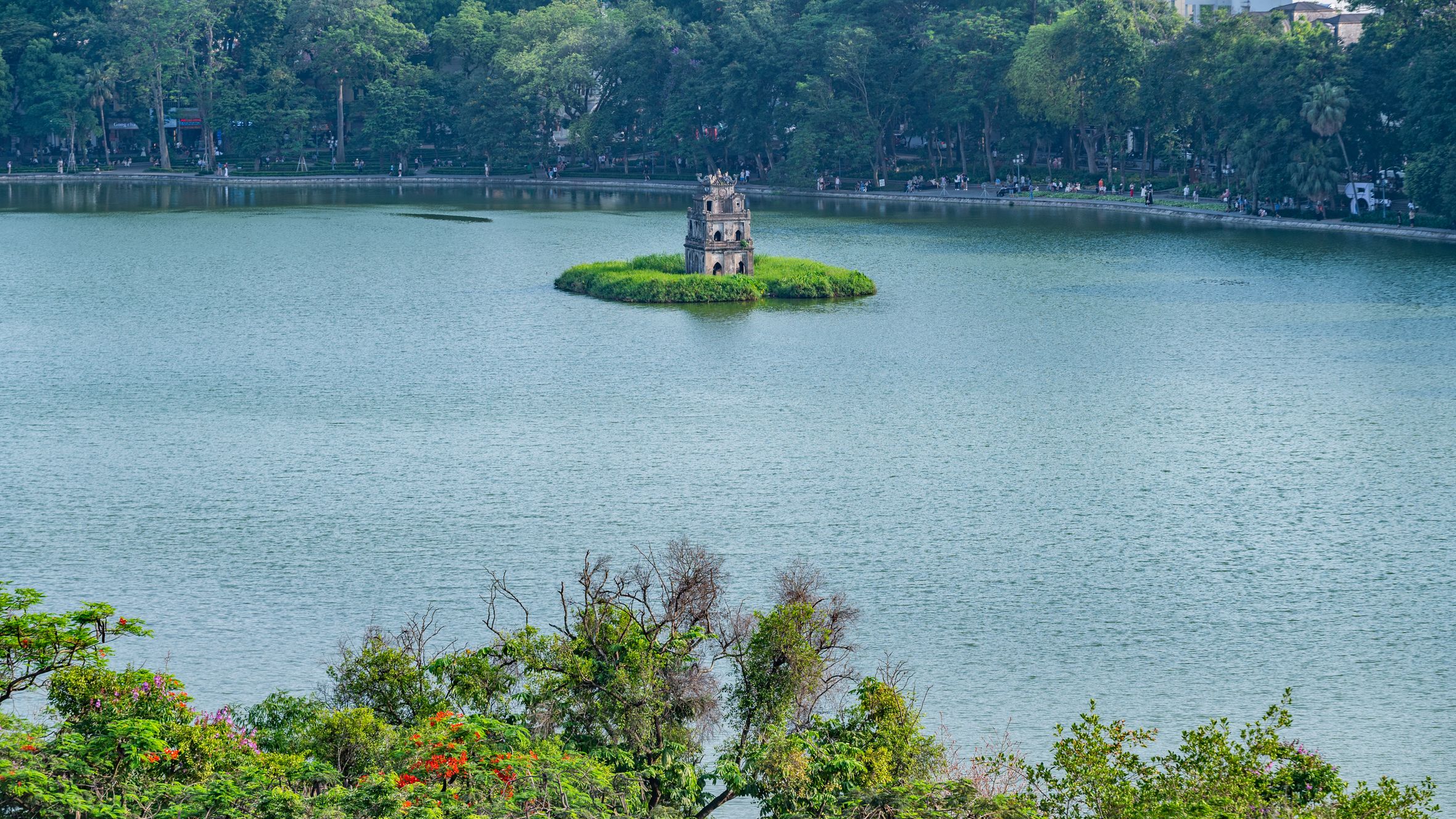
Land, drop your bags, and walk. Don't shoot yet — just map. The 36 guild streets of Hanoi (하노이 / 河内 / ハノイ)'s Old Quarter reward photographers who know where the sightlines are before the crowds arrive. Note Hang Gai and Hang Bac for architecture. Mark the corner of Hang Chieu and the Long Bien Bridge approach for morning. Have a "bia hoi" at a corner plastic-stool joint on Ta Hien Street — 10,000–15,000 VND a glass — and watch how the neon interacts with motorbike headlights after 8 p.m. That's your night-shoot preview.
Day 2 — Hanoi: Blue Hour, Markets, Long Bien
Alarm at 5 a.m. Long Bien Bridge turns amber-grey in the forty minutes before full sunrise — shoot from the east bank looking west for the best compression of bridge spans against the sky. From there, walk fifteen minutes to Dong Xuan Market, which opens around 6 a.m. The wholesale vegetable section on the ground floor has excellent colour and natural light through the upper vents by 7 a.m.
Afternoon: Tran Quoc Pagoda on the West Lake peninsula hits warm sidelight between 3 and 5 p.m. in most seasons. The reflection pool in front is shallow and glassy — use a circular polariser to cut the surface glare. Back to the Old Quarter after dark for the paper lantern alleys off Hang Ma Street.
Drone note — Hanoi: Hanoi city centre is a no-fly zone. Do not attempt to fly within 8 km of Noi Bai airport or above government buildings. Permits exist but require weeks of paperwork through the Civil Aviation Authority of Vietnam. Practically, skip the drone in Hanoi.
Day 3 — Travel Day: Hanoi to Cao Bang (270 km)
Hire a car or take a sleeper bus north. The drive takes six to seven hours on Highway 3 and is itself scenic — limestone karst starts appearing around Bac Kan province. Arrive Cao Bang by late afternoon. Eat, sleep early.
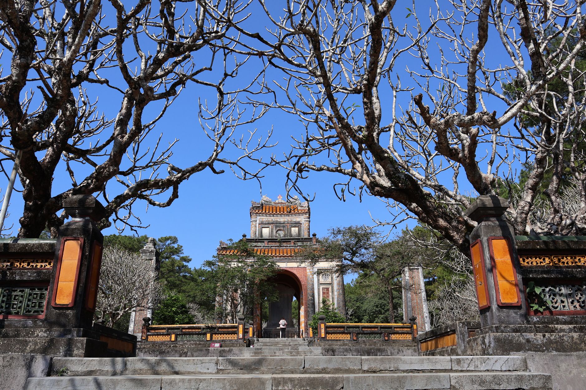
Day 4 — Cao Bang: Ban Gioc Waterfall and Nguom Ngao Cave
Ban Gioc sits 90 km from Cao Bang town — hire a motorbike or car. Peak light at the falls is 8–10 a.m., when spray refracts the low eastern sun. Mist is heaviest September through November. Bring a lens cloth; the spray reaches 40 metres. Afternoon: Nguom Ngao Cave, 3 km away, offers stalactite photography with a tripod. Flash is permitted but harsh — bounce off the ceiling if you insist on artificial light.
Drone note — Cao Bang: Cao Bang province does not sit in a restricted military zone the way border areas sometimes do, but Ban Gioc itself is within 500 metres of the Chinese border. Do not fly a drone at Ban Gioc. Rangers enforce this firmly.

Photo by Nguyen Ngoc Tien on Pexels
Day 5 — Travel: Cao Bang to Ha Giang (roughly 200 km on mountain roads)
This is a punishing but beautiful drive — budget five to six hours. The road through Meo Vac district is a preview of what's coming. Stay the night in Ha Giang town.
Day 6 — Ha Giang: Dong Van Karst Plateau, Ma Pi Leng Pass
This is the centrepiece shoot of the trip. Ma Pi Leng Pass is a 20-km stretch of road cut into cliff faces above the Nho Que River, 1,500 metres below. Morning light comes from the east — position yourself before 8 a.m. at the viewpoint 2 km past the summit marker for the classic river-bend shot. Midday is harsh but workable for portraits of Hmong and Lo Lo minority communities at Dong Van market (Sundays are busiest).
For "ao dai" photographs in landscape context, coordinate with a local guide who can connect you with subjects willing to be photographed — don't assume.
Drone note — Ha Giang: Ha Giang shares a land border with China. Flying drones near the border (within 5 km) without military clearance is illegal and the penalties are real. The plateau interior — Quan Ba, Yen Minh, Dong Van — is a lower-risk area, but get written permission from the Ha Giang province tourism office before any commercial or editorial drone work. Tourist drones in low-risk zones are tolerated informally, but "informal tolerance" is not a legal defence.
Day 7 — Ha Giang: Lung Cu Flag Tower and Village Detail Work
Lung Cu, the northernmost point, is 24 km from Dong Van. The flag tower sits on a hill — 389 steps. Shoot at sunrise for silhouette work against the sky. The real photography here is ground level: hand-carved stone fences, indigo-dyed fabric drying on bamboo racks, buckwheat flowers (September–November, peak colour). Build in three hours for walking the villages around Lung Cu.
Photo by Nguyen Ngoc Tien on Pexels
Day 8 — Travel: Ha Giang to Hanoi to Da Nang (fly south)
Drive back to Hanoi — six hours — then catch an evening flight to Da Nang (one hour, budget 800,000–1,500,000 VND on Vietjet or Bamboo). Transfer to Hoi An by taxi or xe om — 30 km, about 300,000 VND.
Day 9 — Hoi An: Ancient Town, Lanterns, Tra Que
Hoi An's Ancient Town is best shot before 8 a.m. or after 5 p.m. — in between it's a tourist scrum. The Japanese Covered Bridge at 6 a.m. is nearly empty. Shoot the lantern reflections on the Thu Bon River from the embankment at Bach Dang Street; the light is best 6–8 p.m. on evenings when the full-moon lantern festival runs (monthly, 14th of the lunar calendar).
Afternoon: Tra Que vegetable village, 3 km northeast of the Ancient Town, offers portrait and agriculture photography in a working setting. Farmers are used to visitors but treat the space with respect.
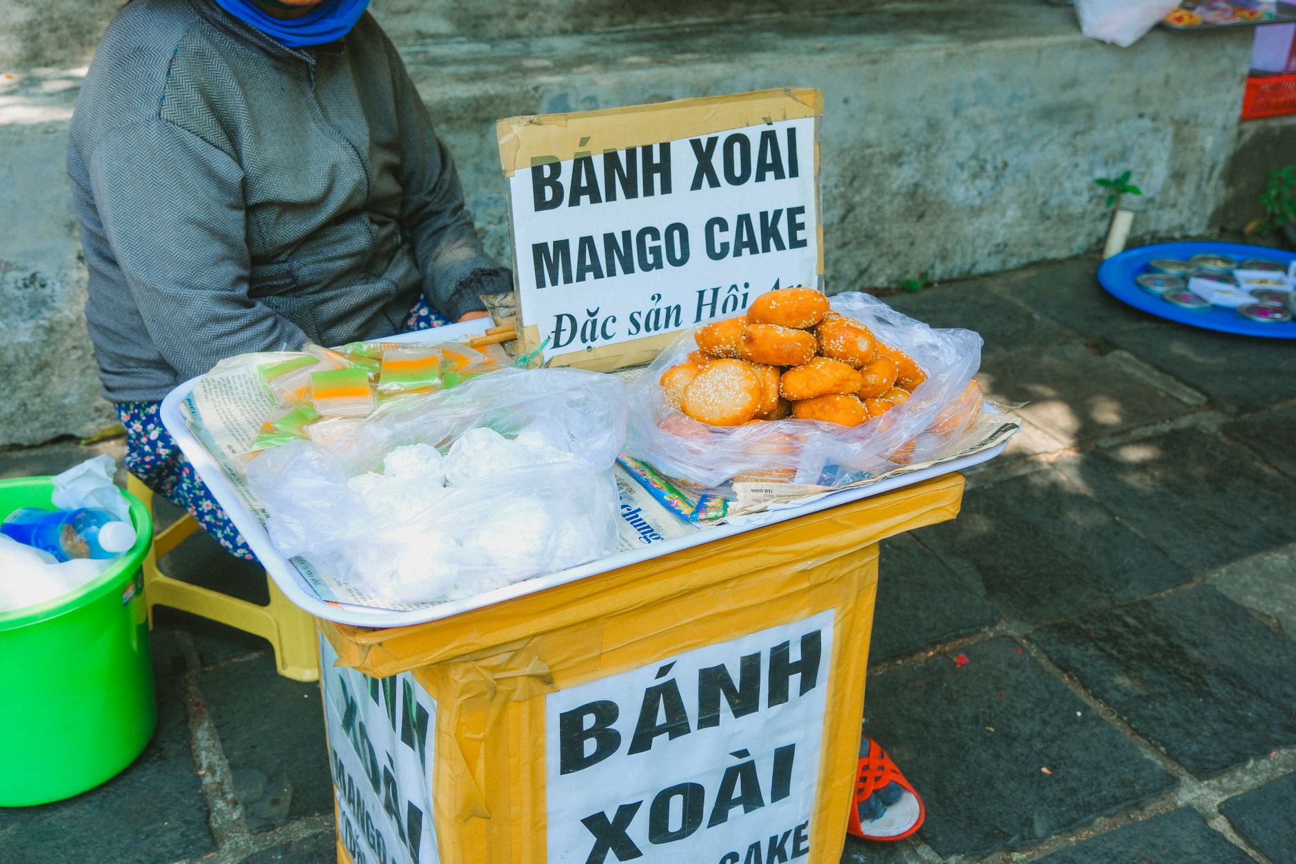
"Cao lau", the thick noodle dish made only in Hoi An, is worth photographing before eating — the braised pork and charred croutons have excellent texture contrast.
Drone note — Hoi An: The Ancient Town is a UNESCO World Heritage Site. Flying above it requires prior approval from the Hoi An Management Board and is rarely granted for tourism purposes. The open rice-field country between Hoi An and Da Nang is accessible by road; fly there instead.
Day 10 — Hoi An to Da Nang, Depart
Morning: catch the light at An Bang Beach, 4 km from the Ancient Town, before the beach chairs fill up. Fishing boats leave the estuary at around 5:30 a.m. — a 20-minute wait at the river mouth gets you the shot. Then: Da Nang airport, fly home.
Practical Notes
The best months for this route are October and November — Ha Giang's buckwheat flowers peak, post-monsoon skies are clear, and Hoi An lantern nights are warm. Budget 35–55 million VND all-in for ten days including domestic flights, guesthouses, and hired vehicles in the north. Bring a compact tripod; bulky equipment is impractical on Ha Giang mountain roads.
Last updated · May 29, 2026 · independently researched, never sponsored.